Cultural Project
Hilly Hood
An alternative map of Hildesheim built through interviews, favourite places, and everyday stories from the city.
Hilly Hood is a counter-map of Hildesheim based on conversations by phone and in public space. Instead of highlighting consumption and tourism, it traces places that matter to people personally — places of intimacy, memory, encounter, rest, play, and belonging.
Method
Interviews, chance, and the city as a social map
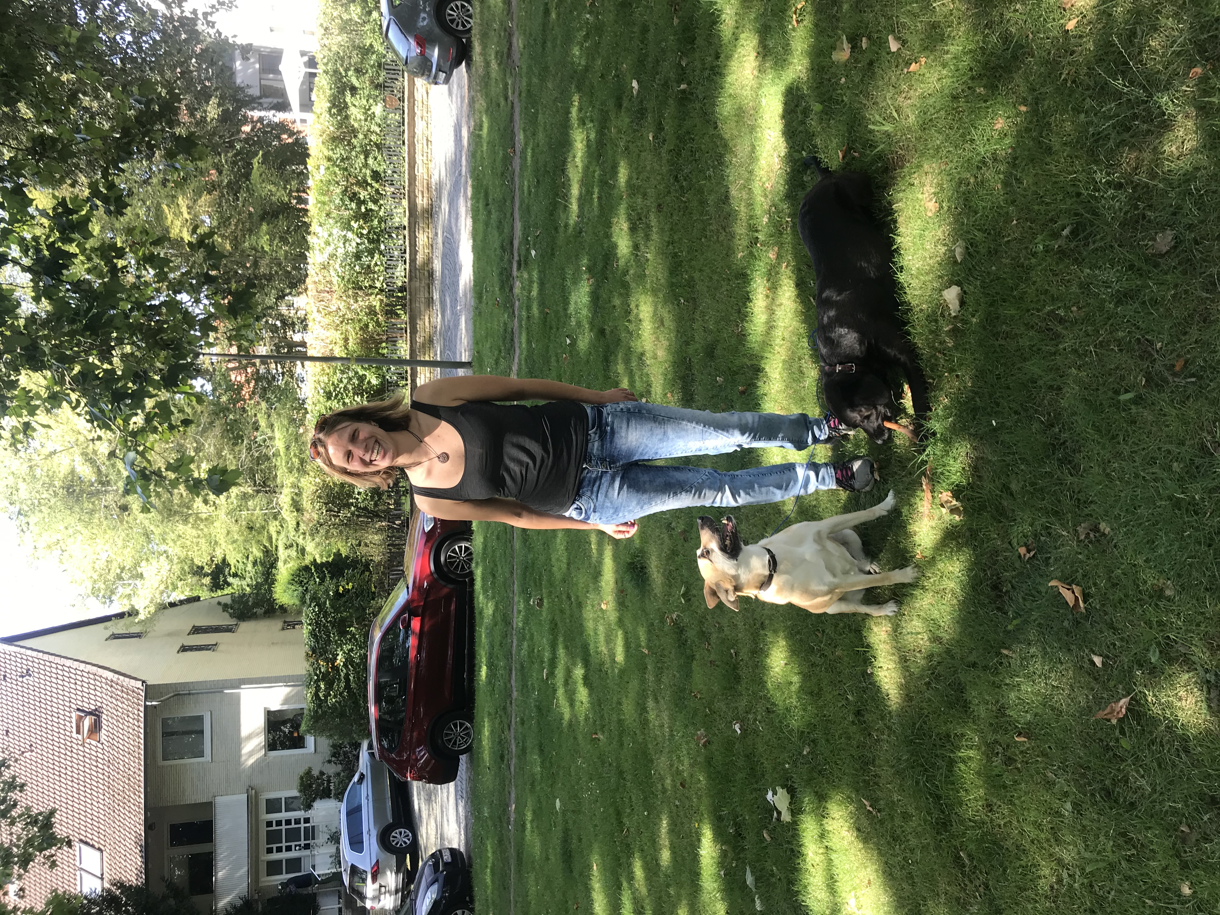
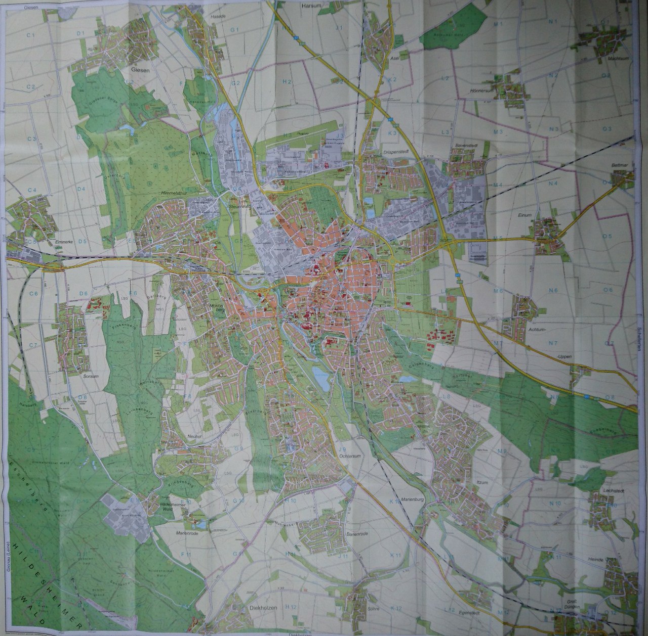
The project began with a simple question: what is your favourite place in Hildesheim? Starting with phone interviews and later continuing on the street, Hilly Hood gathered personal recommendations, short stories, and everyday perspectives from across the city. The idea was not only to collect locations, but to understand what these places meant to the people who named them.
To broaden the range of voices, the project moved from telephone conversations into public space and across different neighbourhoods of Hildesheim.
The favourite places quickly became entry points into wider questions of belonging, neighbourhood identity, and social difference.
Through this process, the map turned into a network of encounters — a social cartography shaped by conversation rather than official data.
What emerged
A city mapped through needs, tensions, and belonging
As the interviews progressed, the favourite places themselves became less important than the stories attached to them. What surfaced instead were wishes, frustrations, habits, fears, and everyday attachments — fragments of a city experienced very differently depending on age, neighbourhood, and social environment.
The conversations suggested that Hildesheim is not experienced as one shared urban space, but as a city divided into distinct social milieus and districts. These borders were not only geographic. They also shaped perception: people often named places in their own neighbourhoods, while other parts of the city were described with distance, uncertainty, or prejudice.
In this sense, Hilly Hood became a map of more than places. It became a map of social relations, urban imaginaries, and unequal access to belonging.
What appeared on the map was therefore not a representative portrait of Hildesheim, but a qualitative image of the city in 2020: fragmented, layered, and full of overlooked connections.
Intervention on multiple levels
A project unfolding across media, encounters, and public space
Hilly Hood can be understood as a multi-layered intervention. Each stage of the project opened a different way of reaching people, circulating stories, and reshaping how the city could be seen and shared.
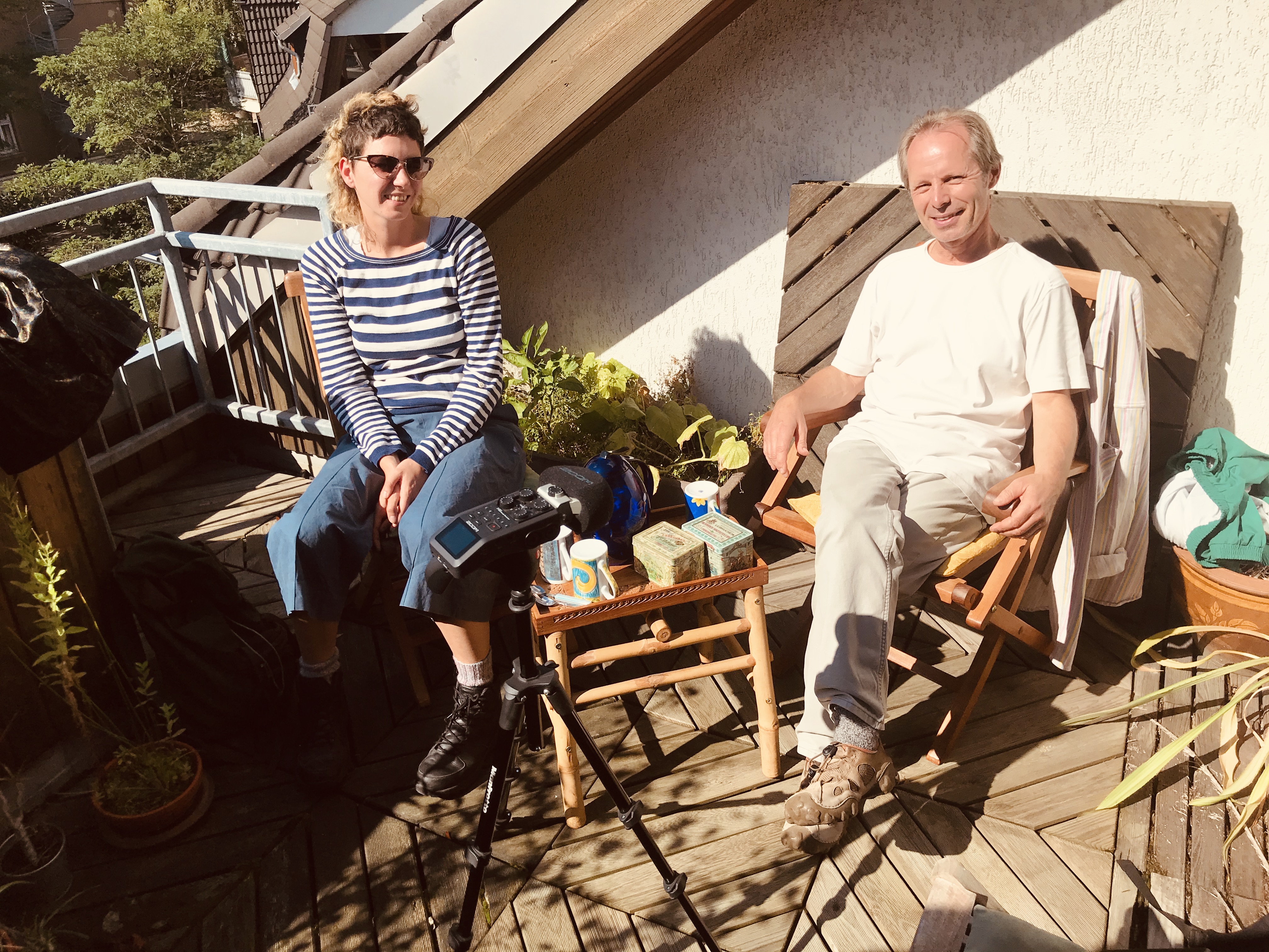
1. Telephone interviews
The first layer of the intervention entered private space through phone calls, asking residents about favourite places and opening conversations about everyday life, memory, and belonging.
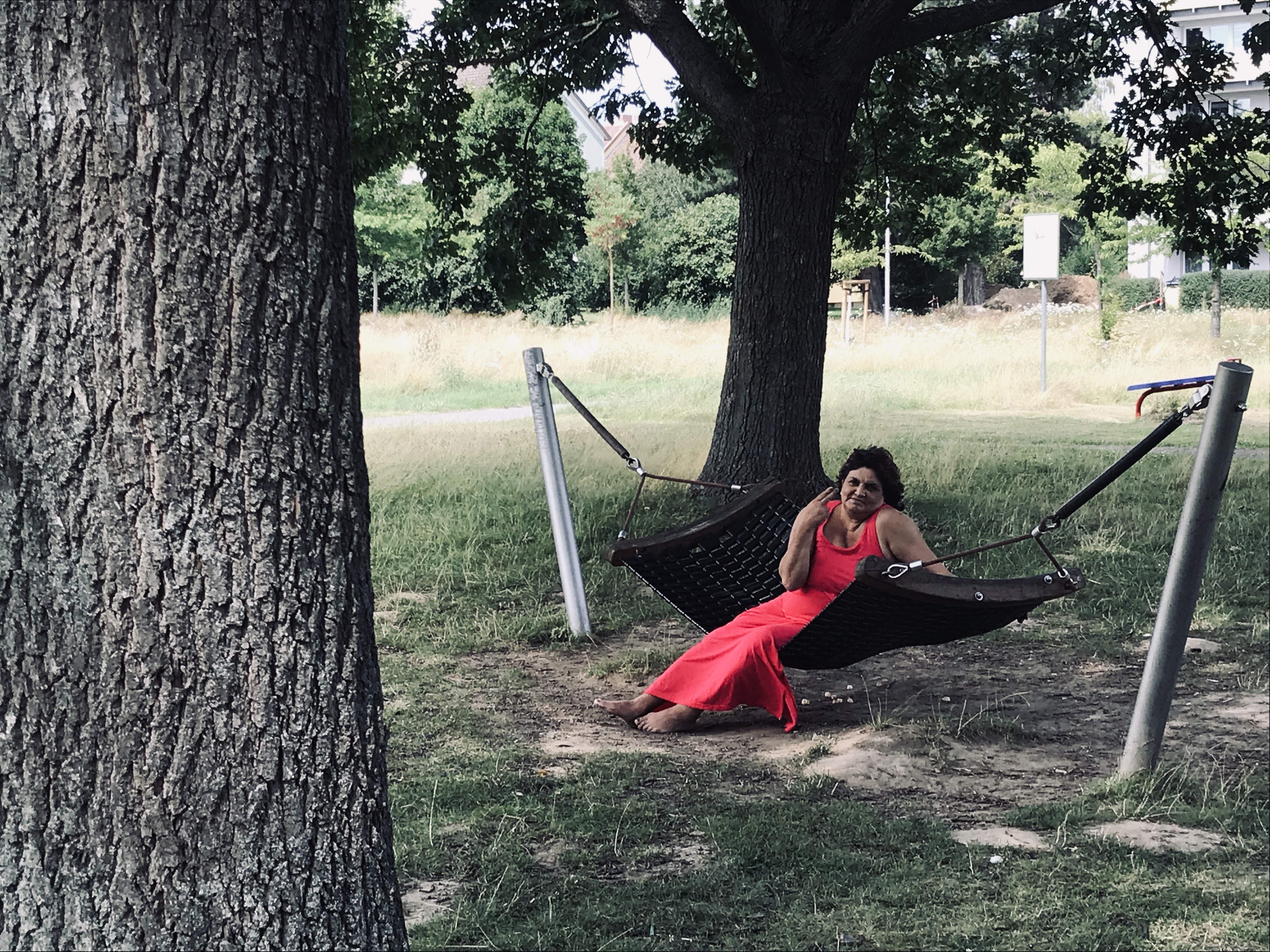
2. Street conversations
The second layer moved into public space. By interviewing people on the street, the project expanded its social reach and brought together voices from different age groups, districts, and backgrounds.
3. Radio
A further layer emerged through radio. In collaboration with Radio Tonkuhle, the project was translated into a broadcast format, allowing the findings to reach a broader public beyond the immediate interview context.
4. Digital map
The publication of the map online created a durable and publicly accessible layer. In digital form, Hilly Hood could circulate independently and continue to connect people to places, stories, and alternative routes through the city.
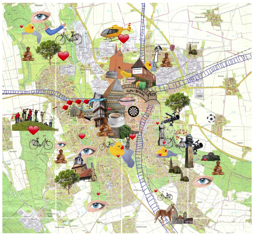
Artistic design
From social research to visual language
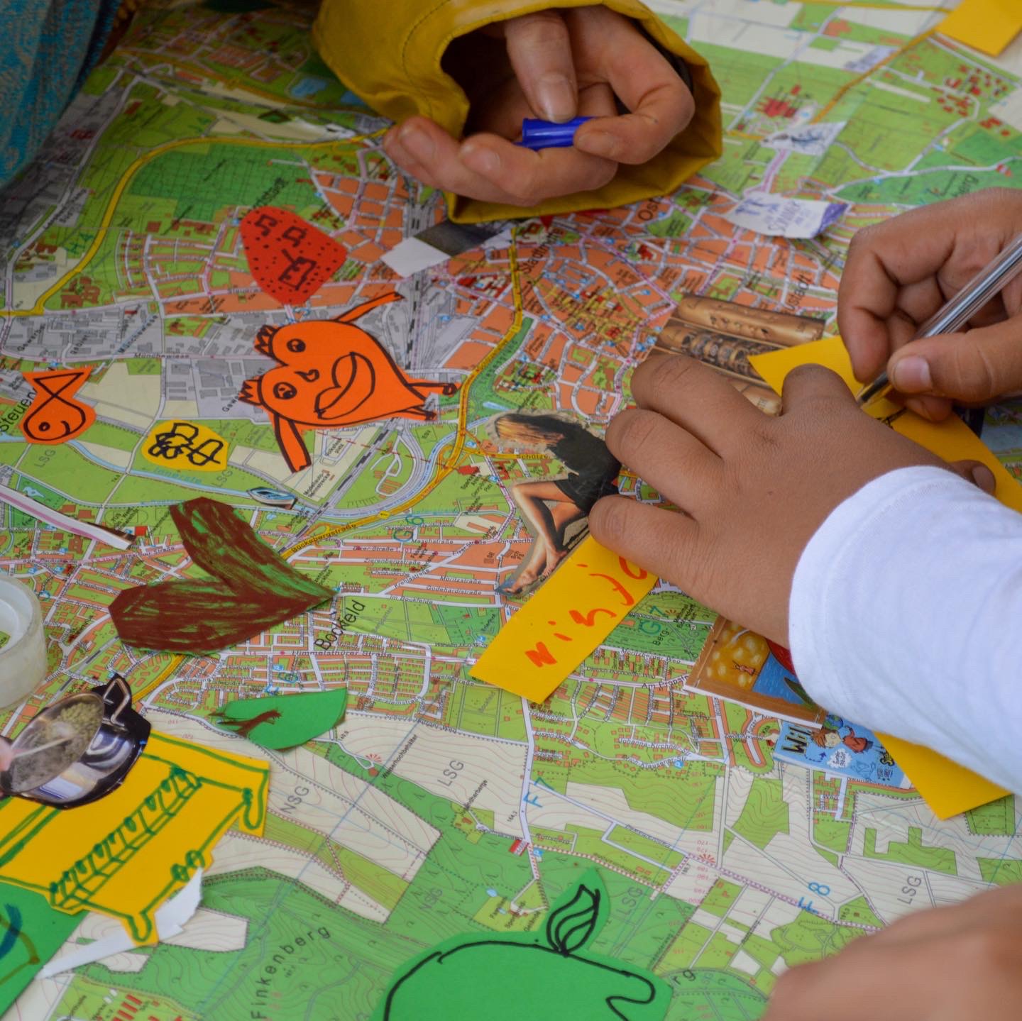
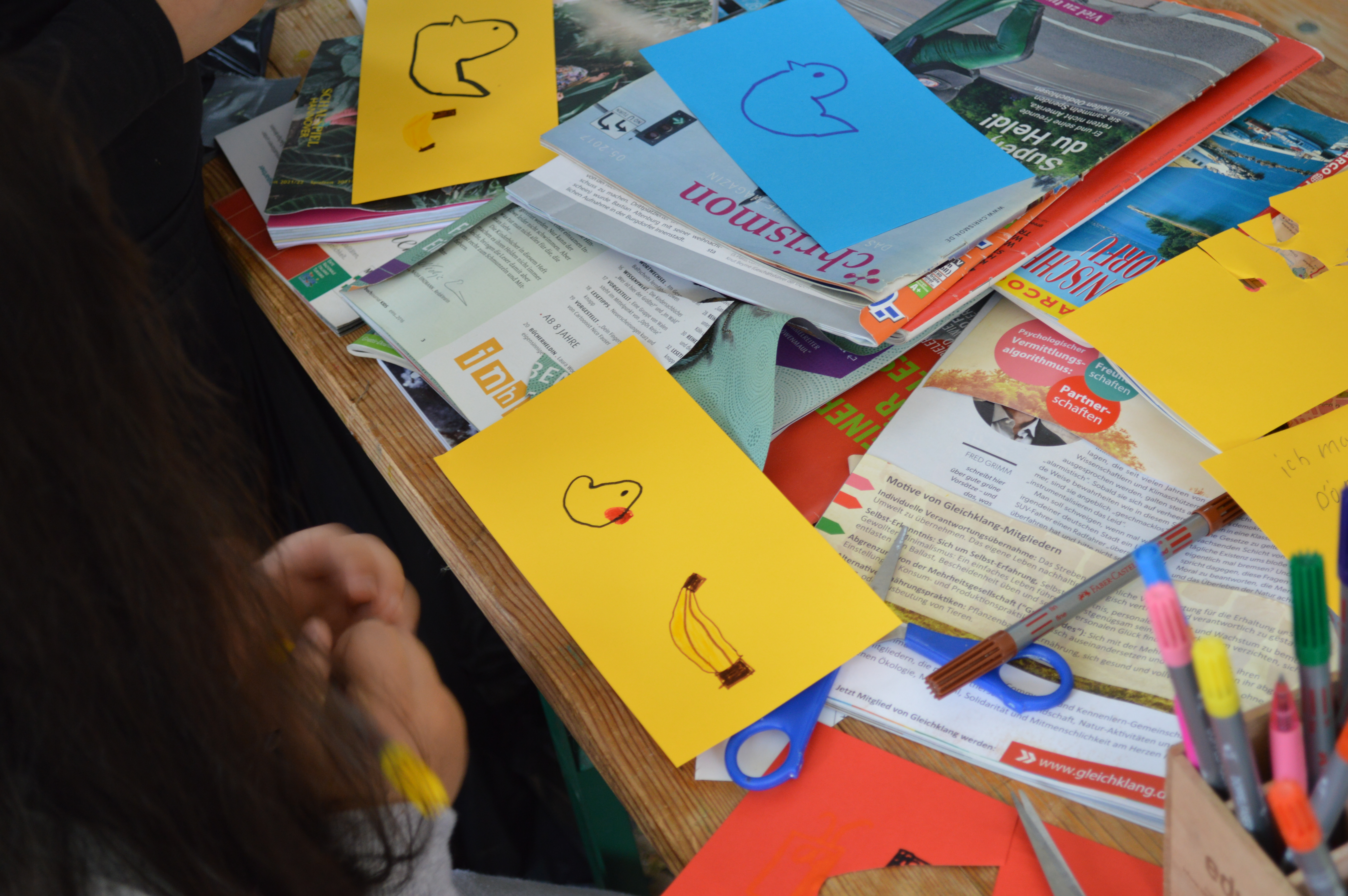
The final map does not function as a neutral city plan. It translates conversations, movements, and encounters into an artistic visual language shaped by hand-drawn illustrations, collage-like fragments, symbols, and playful graphic elements.
People and their stories are connected to places through short descriptions, image fragments, and visual markers. In this way, the map mirrors the structure of the project itself: one conversation led to a place, one place led to another person, and gradually a network became visible.
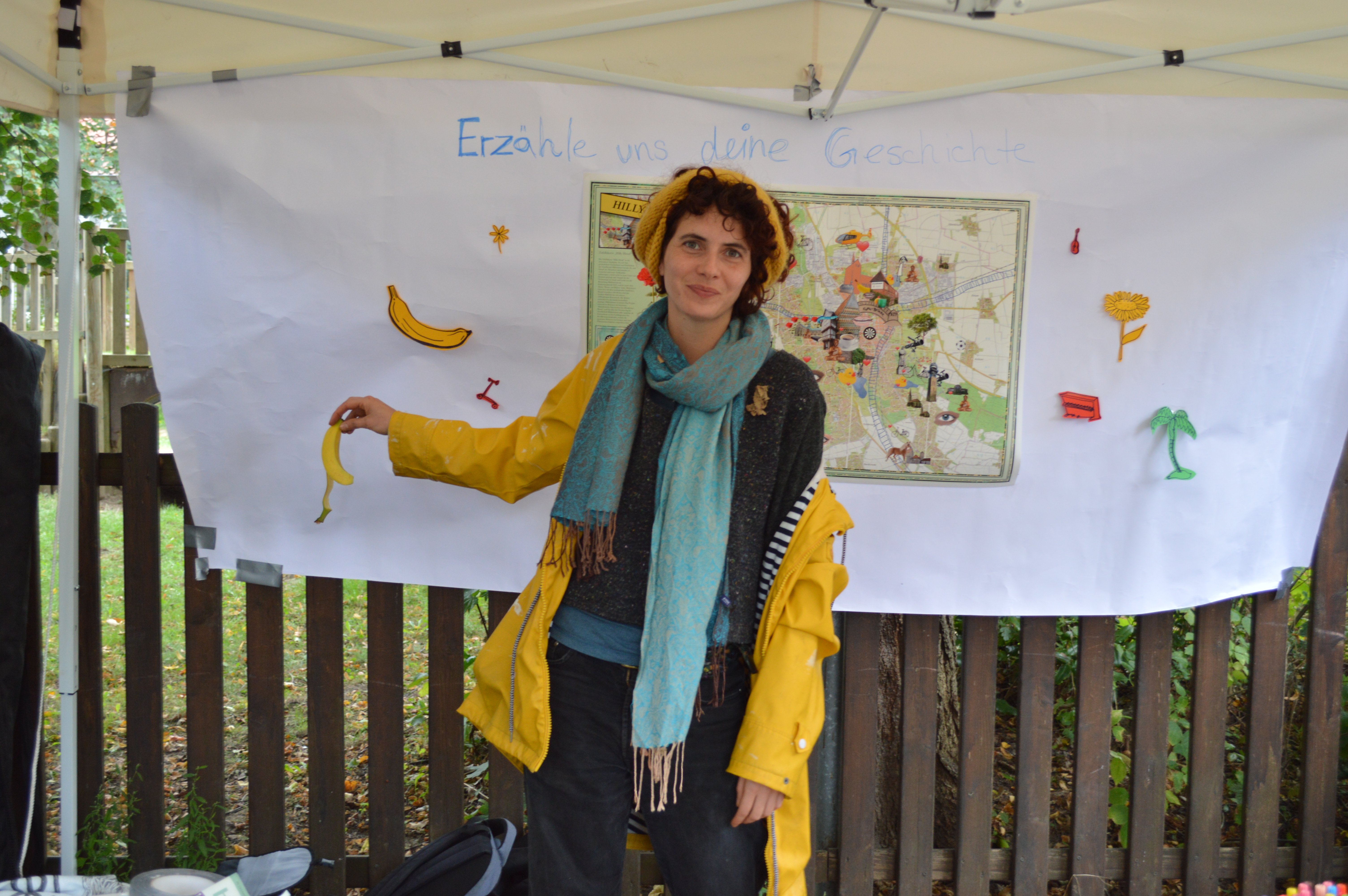
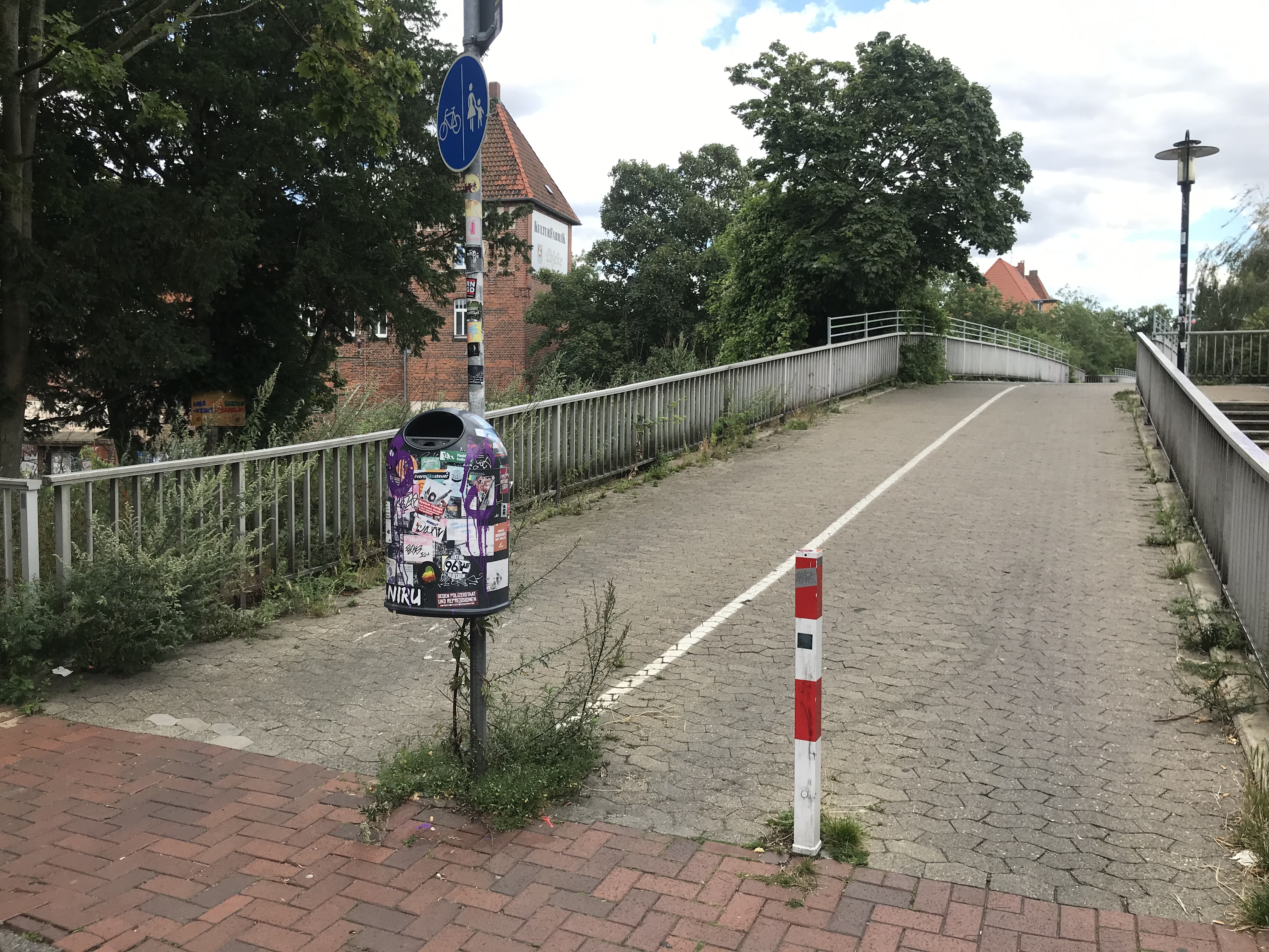
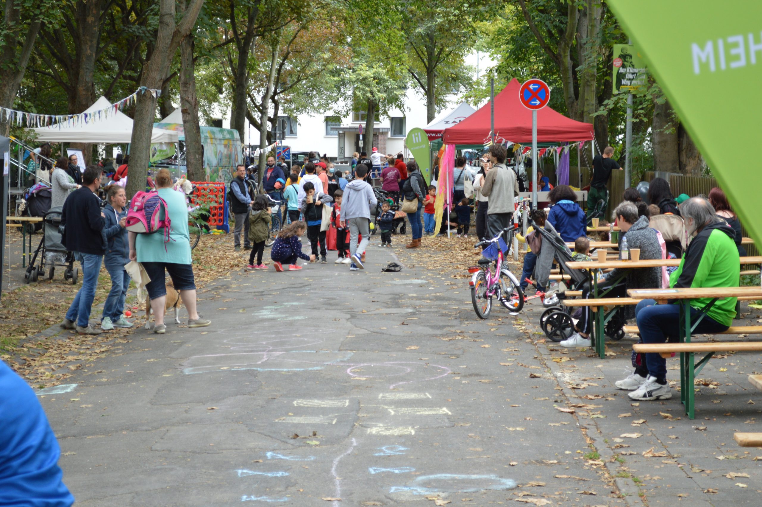
This approach continued when we were invited by Kulturfabrik Löseke (KuFa) to work with children as part of the project Spotlight on the Road. Our workshop focused once again on the needs of people — in this case, mostly children — and asked them to imagine their ideal city.
The results were telling: most children chose playgrounds and parks over roads and cars. Their responses echoed one of the central questions of Hilly Hood — how a city might look if it were shaped less by traffic and consumption, and more by the everyday needs of the people living in it.